Skip to content
Homepage
Infographic Designs
Menu Toggle
Agenda Presentation Slides
Funnel Diagrams
Circular Designs
Timeline Designs
Process Flow Designs
Fishbone Diagrams
Balanced Scorecard
Relationship Designs
Country Map Infographics
Pricing Table
Team/ Organization Charts
Presentation Templates
Menu Toggle
Business
Consulting
Marketing
Education
Abstract
Information Technology
Medical
Festivals
Real Estate
Sports
Charts & Graphs
Pitch Deck
Excel Templates
Main Menu
Homepage
Infographic Designs
Menu Toggle
Agenda Presentation Slides
Funnel Diagrams
Circular Designs
Timeline Designs
Process Flow Designs
Fishbone Diagrams
Balanced Scorecard
Relationship Designs
Country Map Infographics
Pricing Table
Team/ Organization Charts
Presentation Templates
Menu Toggle
Business
Consulting
Marketing
Education
Abstract
Information Technology
Medical
Festivals
Real Estate
Sports
Charts & Graphs
Pitch Deck
Excel Templates
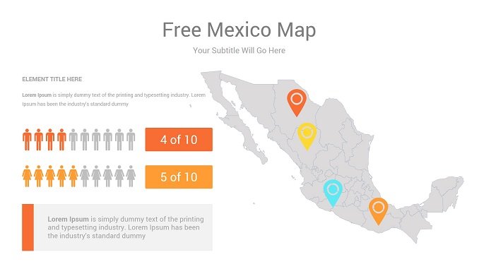
Download Mexico Map Free PowerPoint Template
SlidesGeek »
Home
»
Downloads
»
Infographic Designs
»
Country Map
»
Mexico Map
Download Mexico Map Presentation Template
Download
Tags:
best powerpoint presentation templates
,
buisness powerpoint templates
,
country
,
country maps
,
country maps in powerpoint
,
county map
,
excel dashboard template
,
excel map chart
,
how to color a world country map for making sales presentation maps
,
infographic
,
infographic element
,
infographics
,
infographics after effects template
,
infographics animation templates
,
infographics examples
,
map
,
map animation
,
map powerpoint
,
map template
,
maps
,
maps in powerpoint presentations
,
mexico
,
Mexico Map
,
mexico map kit
,
powerpoint map animation templates
,
powerpoint maps
,
powerpoint presentation
,
powerpoint template
,
powerpoint templates
,
ppt dashboard template
,
ppt template
,
presentation
,
presentation process
,
presentation template
,
presentations
,
template
,
template powerpoint
,
template ppt
,
world map powerpoint
,
world powerpoint maps templates
Interesting Packages
Template Information
Total Downloads
4
Version
1
Size
83 KB